Driving the Dettah Ice Road
Driving the Dettah ice road, Yellowknife's public road across a frozen bay: how it feels, when it opens, ice-road etiquette, and respect for Dettah.
 By Thomas Beaulieu, Yellowknife tour guide & northern lights specialist
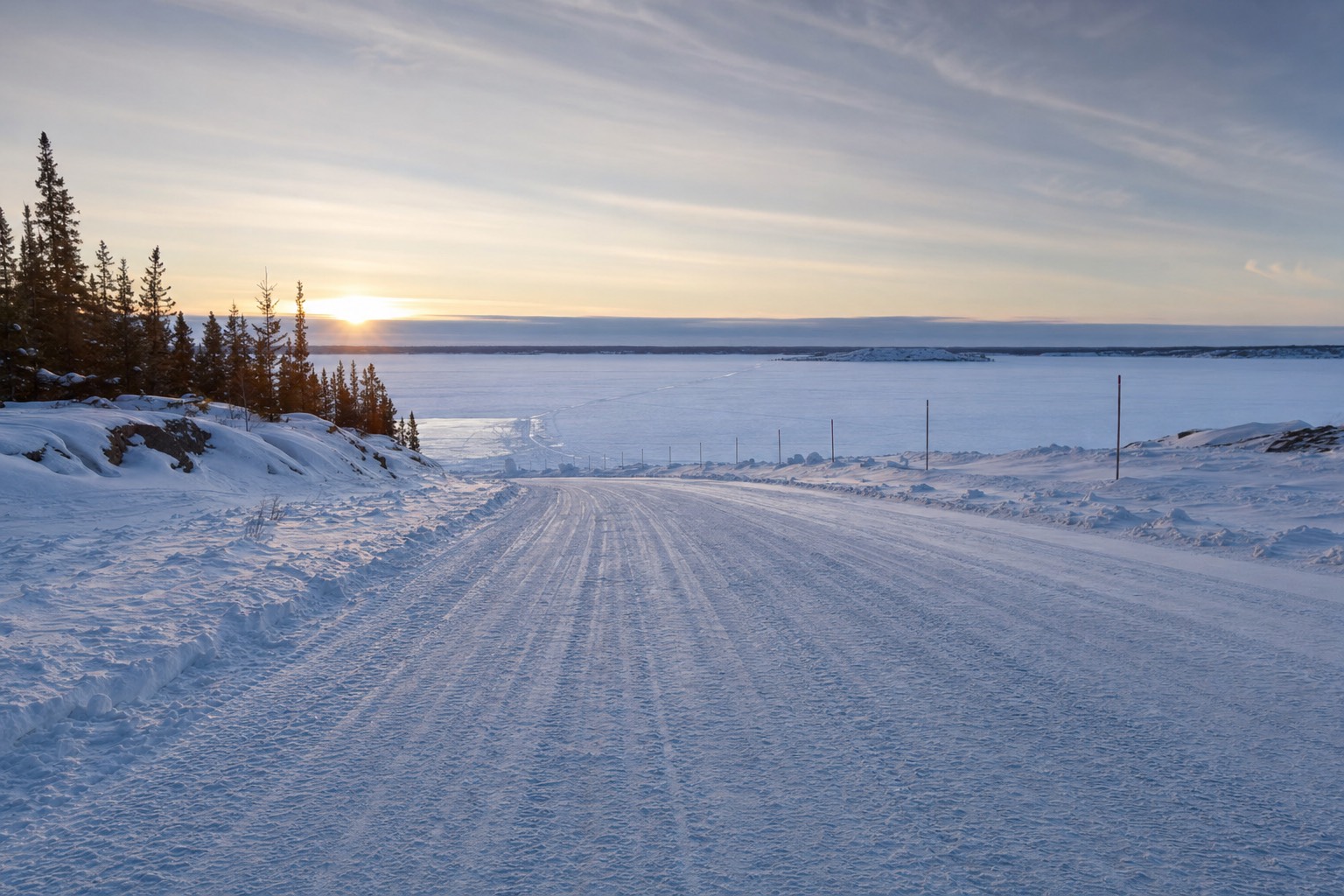
The first time I drove a guest onto the ice road, she grabbed the door handle and did not let go until the far shore. I understand it. Your brain knows the road is plowed, signed and public, and your body still registers that you have just driven a two-tonne vehicle off dry land onto a frozen lake. The tires hum differently on ice. The light comes at you from everywhere, off the snow, off the sky. Somewhere under the whole scene is dark water, and the strangest commute in Canada is underway.
What is the Dettah ice road, exactly?
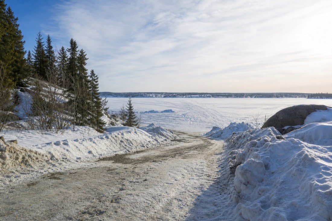
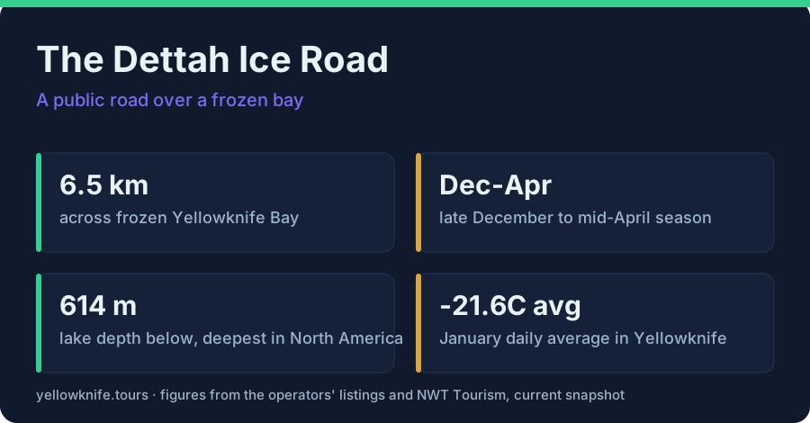
The Dettah ice road is a public winter road plowed straight across frozen Yellowknife Bay, roughly 6.5 km from the edge of the city to Dettah, a Yellowknives Dene First Nation community. It typically opens around late December, closes by mid-April, and ordinary cars drive it every day.
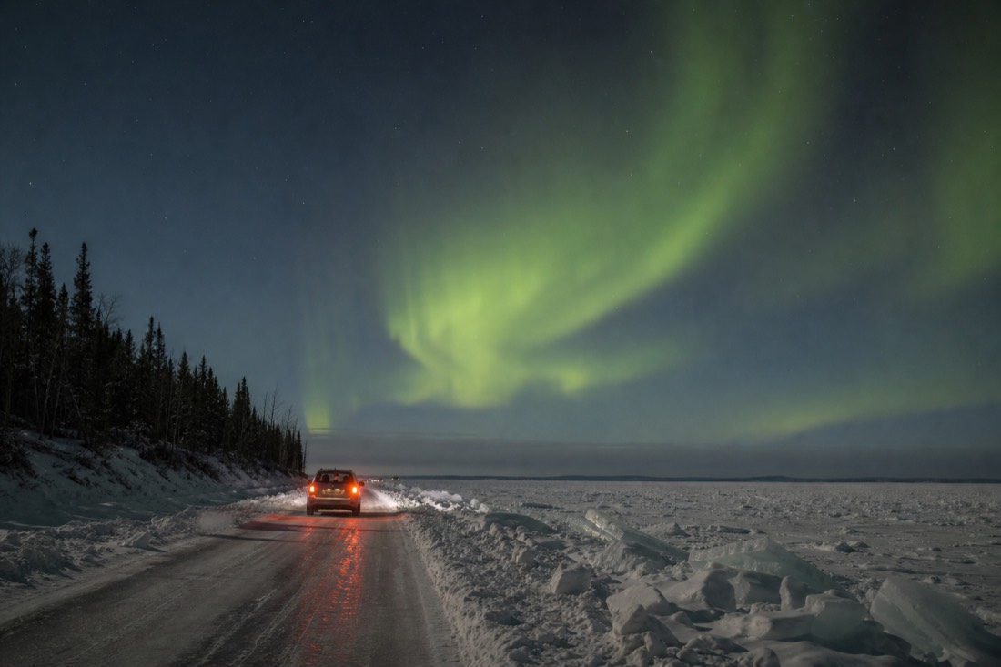
No permits, no special vehicle, no drama at the entrance: you simply drive down to the shore near Old Town and the road keeps going where the land stops. That casualness is the part visitors struggle to believe. For Yellowknifers it is a shortcut; the ice route runs straight across the bay while the all-season road loops the long way around. For the people of Dettah it is the winter link to town, driven for groceries, work and school runs.
| Quick fact | Detail |
|---|---|
| Length | About 6.5 km shore to shore |
| Surface | Plowed, maintained lake ice |
| Who can drive it | Anyone, regular passenger vehicles |
| Season | Typically late December to mid-April |
| Destination | Dettah, Yellowknives Dene First Nation |
| Cost | Free, it is a public road |
The word to hold onto is public. This is not a stunt course or an attraction with a gate. It is infrastructure that happens to be made of water.
What does it feel like to drive on a frozen lake?
Smooth, bright and quietly surreal. The plowed lane runs flat between snowbanks, the ice under you is thick enough for daily traffic, and the lake beneath reaches 614 metres at its deepest point, the deepest in North America. The bay under the road is far shallower, but your imagination does not care.
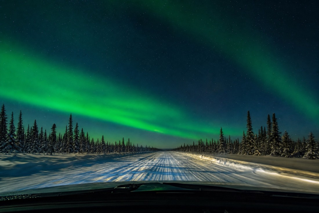
Great Slave Lake is a genuinely huge body of water, and knowing the whole system bottoms out at 614 metres gives the drive its particular flavour. Mid-crossing, with the city shrinking in the mirror and Dettah still a smudge of woodsmoke ahead, you get a couple of minutes of pure white geometry: snow plain, ice lane, sky. I have crossed it more times than I can count and that middle stretch still gets me.
Lake ice is also alive, and it talks. Cold, thickening ice cracks and booms as it expands, sometimes loudly enough to feel through the floor of the car. The first boom is alarming. It is the sound of ice getting stronger, not weaker, which is one of those northern facts that takes a minute to trust. If you climbed the rock in Old Town first, you have already seen this road from above; the view from the Bush Pilots Monument shows the whole white line of it, threading past the frozen-in houseboats I wrote about in the houseboats of Yellowknife Bay.
When is the ice road open, and what is the season like?
Typically from late December, once the bay ice has thickened enough for traffic, until mid-April when spring weakens it. January and February are the coldest, most solid heart of the season, and March adds long daylight, which makes it the easiest month for a first crossing.
The season tracks the cold, and Yellowknife's cold is dependable. January highs average around minus 21.6 C, the daily mean sits near minus 25.5, and nighttime lows run near minus 29. The all-time record without wind chill is minus 51.2 C, set in 1947, a number Cabin Radio dug out of the archives. Cold like that builds a lot of ice.
| Month | Ice road status | What the month is like |
|---|---|---|
| December | Usually opens late in the month | Short days, deepening cold |
| January | Open, thickening | Coldest month, highs about -21.6 C, mean near -25.5 C |
| February | Open, solid | Deep cold, lengthening light |
| March | Open, prime time | Bright days, festival month on the bay |
| April | Closes around mid-month | Spring sun softens the surface |
March is my favourite crossing month for guests, and not only for the light: the same bay ice hosts the SnowKing's snow castle every March, with dates posted at snowking.ca, so one frozen bay gives you a road and a castle in a single afternoon. I put the whole case for that month in the SnowKing festival piece.
How should you behave on an ice road?
Drive slowly, keep a long gap from the vehicle ahead, obey every posted sign, and never stop mid-lane for photos. Locals share this road at commuting speed, heavy braking and speed stress the ice sheet, and the community at the far end is home, not a photo set.
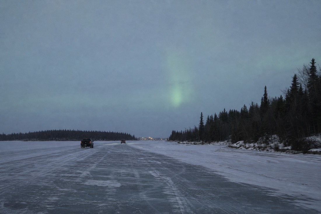
Ice-road manners are simple and locals notice who has them. Speed is the big one: a vehicle moving fast over ice pushes a pressure wave through the water beneath, so the posted limits are low for physics reasons, not bureaucratic ones. Some northern drivers also like a window cracked on ice crossings, an old habit of caution; follow the signage and conditions rather than any one trick you read online.
| Do | Don't |
|---|---|
| Follow posted speed limits exactly | Speed, brake hard, or spin donuts |
| Leave a long gap to the car ahead | Tailgate or overtake casually |
| Pull well aside if you must stop | Stop mid-lane for photos |
| Wave, drive like a guest | Treat the road as a racetrack |
| Turn around respectfully at Dettah | Wander the community photographing homes |
Then there is the far shore. Dettah is a living Yellowknives Dene community with its own history on this lake that long predates the city across the bay. Driving the road is welcome; treating the community as an attraction is not. My rule for guests is the same one I use anywhere: no photos of people or houses without permission, no wandering into yards, and if in doubt, stay in the vehicle, enjoy the crossing, and head back. The road itself is the experience.
How does the ice road fit into a Yellowknife winter day?
Perfectly, as the wild half of a history day. The crossing takes minutes, so pair it with a guided city loop that explains what you drove past: the gold rush, Old Town, the bay and its people. Do the tour first and the ice road becomes a story you recognize.
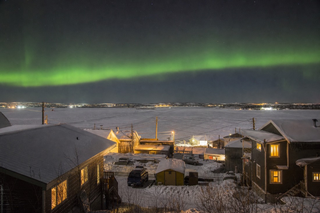
On its own the crossing is a twenty-minute novelty. With context it becomes the point of the whole afternoon, which is why I tell guests to stack it with a city tour: the 5.0-rated loop covers Old Town, the Bush Pilots Monument and the shoreline the road launches from, so by the time you roll onto the ice you know whose lake you are crossing and why the town is here at all. If your dates are set, check live availability and prices for the city tour on Viator and put the ice road right after it while the stories are fresh.
Dress for the day properly, because standing on a frozen bay finds every gap in your layers; the guide on what to wear in a Yellowknife winter covers the system that works down past minus 30.
One more thing, because guests always ask: yes, it feels strange every single time. That never wears off. You drive off the land, the tires change their note, and for 6.5 bright kilometres Canada's strangest commute is yours.