Yellowknife Hiking Trails: The Four Walks That Actually Exist
The hiking here is real but short-listed, four confirmed walks on Canadian Shield rock, and the season you visit decides which of them makes sense. Here is the honest trail map.
 Written with Thomas Beaulieu, Yellowknife tour guide & northern lights specialist
Short answer
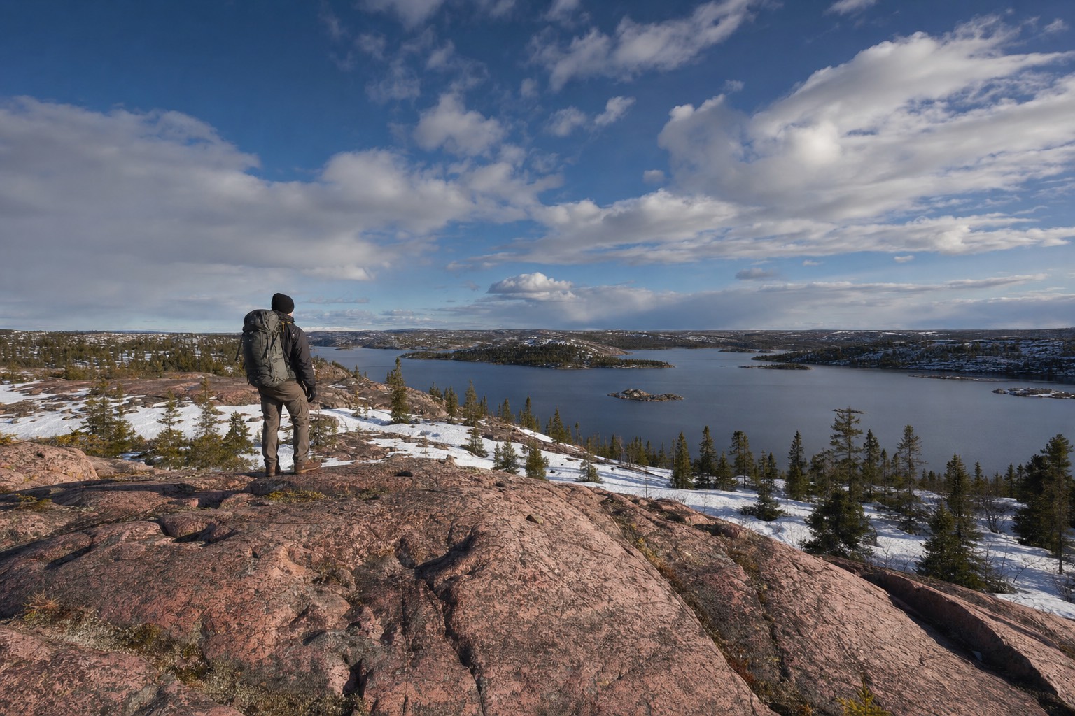
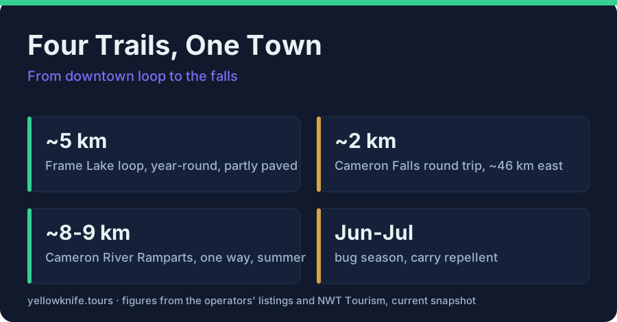
Four confirmed options. The Frame Lake Trail is a roughly 5 km loop through downtown, partly paved and walkable year-round. The Cameron Falls Trail is about 2 km round trip, 46 km out the Ingraham Trail. The Cameron River Ramparts run 8 to 9 km one way upstream and less developed. Long Lake's trails sit at Fred Henne Territorial Park by the airport.
People picture the Northwest Territories and assume week-long backpacking epics start at the city limits. The truth I give hikers on day one is smaller and more useful: Yellowknife has a short list of genuinely good walks, they sit on beautiful Canadian Shield rock, and the right one depends entirely on the month you arrive. This guide is the trail roundup, lengths, seasons, and hazards included. The story of actually spending a day out at the falls, swimming hole debate and all, lives in Cameron Falls and the Ingraham Trail.
What are the best hiking trails in Yellowknife?
Four confirmed walks: the Frame Lake Trail, a roughly 5 km loop through downtown, partly paved and open year-round; the Cameron Falls Trail, about 2 km round trip, 46 km from town; the Cameron River Ramparts, 8 to 9 km one way and less developed; and the Long Lake trails at Fred Henne Territorial Park.
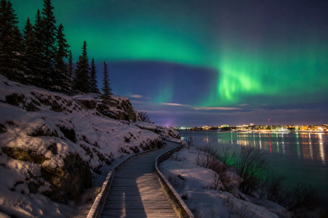
That is the honest inventory, and its shape tells you how to plan. One trail lives inside the city and works in any month. Two live out the Ingraham Trail and belong to the warm half of the year. One wraps around the town beach. Nothing here needs mountaineering fitness; what the trails demand instead is respect for season, which the rest of this guide unpacks.
| Trail | Length | Character | Season |
|---|---|---|---|
| Frame Lake Trail | ~5 km loop | Downtown lake circuit, partly paved | Year-round |
| Cameron Falls Trail | ~2 km round trip | Shield rock and forest to a loud waterfall | Summer first |
| Cameron River Ramparts | ~8-9 km one way | Less developed river-country walking upstream | Summer |
| Long Lake trails, Fred Henne Territorial Park | Short network | Beach-and-park walking by the airport | Summer core |
Is the Frame Lake Trail worth doing?
Yes, and it is the one trail that never closes on you. The loop runs about 5 kilometres around Frame Lake, right through downtown, partly paved, and passes the Prince of Wales Northern Heritage Centre on the shore. It is the walk for arrival day, jet lag, and any month of the year.
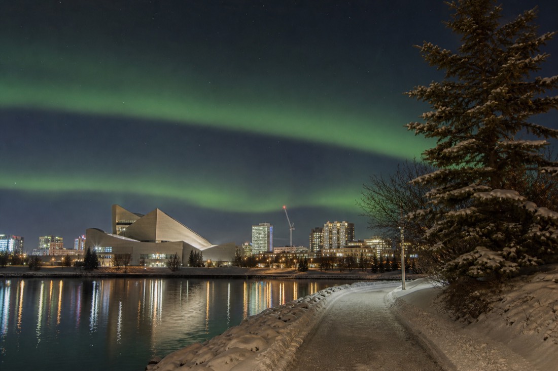
I underrate no trail that starts within walking distance of every downtown hotel. Frame Lake is the city's front-yard loop: rock outcrops, water, and the territorial capital's civic buildings all sharing one shoreline. The Prince of Wales Northern Heritage Centre sits right on the lake with free admission, which turns the loop into the best free half-day in town, walk half the circuit, spend an hour with the Dene and Inuvialuit galleries and the bush-plane exhibit, walk the rest.
It is also the honest answer to a question I get from every fit visitor in February: yes, you can still walk here in deep winter, and Frame Lake is where. More on the winter version below, because clothing decides everything.
How do you hike Cameron Falls and the Ramparts?
Drive the Ingraham Trail about 46 kilometres east to the Cameron Falls trailhead. The falls walk is about 2 kilometres round trip on Shield rock and forest, a genuine reward-per-step bargain. Hikers wanting more continue on the Cameron River Ramparts route, 8 to 9 kilometres one way upstream, rougher and less developed.
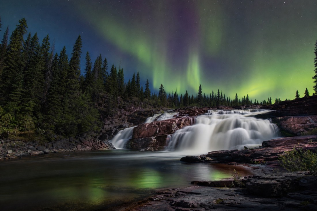
Cameron Falls is the marquee hike and deserves it. The territory keeps current conditions on its Cameron Falls page, and the arithmetic is friendly: 45-ish minutes of driving, a short walk, and a waterfall loud enough to feel in your chest. The drive itself, the roughly 70 km dead-end Ingraham Trail past Prosperous, Madeline, and Prelude lakes, is half the outing.
The Ramparts are the quieter, longer sibling: 8 to 9 kilometres one way following the Cameron River upstream, less developed underfoot, no crowds. Park information for the Cameron River country sits with NWT Parks. Treat it as a proper day with proper supplies, not a falls add-on you improvise at 3pm. Both routes are summer-first territory; this is also where the summer town shows off, the season I make the full case for in Yellowknife in summer.
What about bears and bugs on Yellowknife trails?
Two honest hazards, both manageable. June and July are real bug season, so carry repellent and do not let anyone tell you otherwise. Black bears are possible on summer trails around Yellowknife, so make noise, keep food packed away, and follow the NWT's wildlife safety guidance. Neither should cancel a hike.
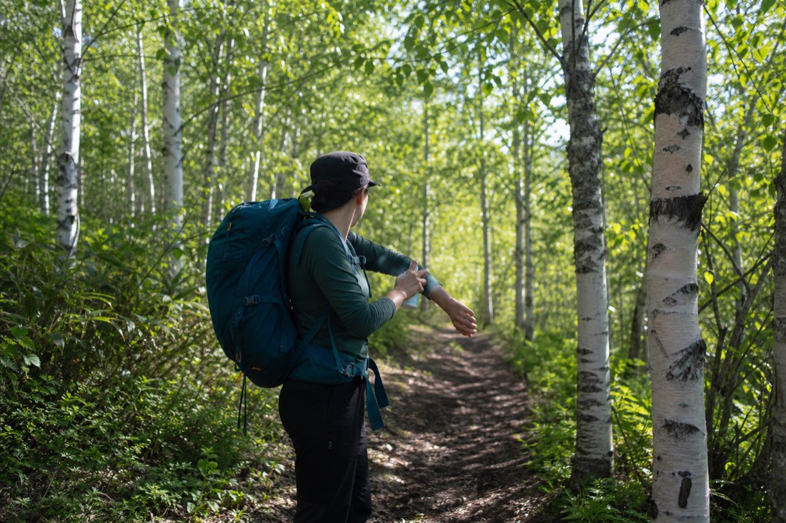
Every glossy trail list skips this section, which is exactly why guests get surprised. The bugs first: early and mid summer in the boreal forest means mosquitoes in numbers southerners find biblical. Repellent, long sleeves in the worst weeks, and a sense of humour cover it. By late summer the pressure drops.
Bears second, without drama. This is black bear country in the warm months, not a polar bear zone, whatever the postcards imply. The territorial government's wildlife safety guidance is the page to read before the Ingraham Trail day: travel in groups where you can, make noise on blind corners, manage food smells. What actually lives around town, ravens to foxes to the bison out on Highway 3, is a bigger and more interesting subject that gets its own treatment in wildlife in Yellowknife.
Can you hike in Yellowknife in winter?
Frame Lake, yes, dressed for it. The downtown loop stays walkable all winter, and a minus-twenty walk in proper layers is genuinely pleasant. The Ingraham Trail routes are a different matter: short daylight, deep cold, and no crowds mean the falls become a serious outing rather than a stroll. Most winter visitors should keep hiking urban.
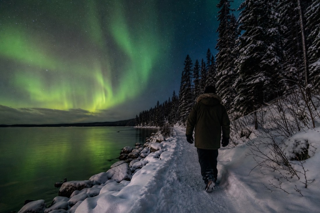
Winter walking here is real and lovely, with one condition: clothing does all the work. December and January run seriously cold, routinely below minus 20 at night, and the difference between a miserable ten minutes and a glorious hour on Frame Lake is entirely what you are wearing. The full layering system, parka rental included, is in what to wear in Yellowknife in winter.
My winter rule of thumb for guests: the town on foot, the wilderness by tour. Guided winter trips carry the heated vans, the gear, and the judgment about conditions, which is why they run all season while the trailheads sleep under snow.
Which trail fits your trip?
Match the month, then the appetite. Any month: Frame Lake. June to September with a car: Cameron Falls, then the Ramparts if you want a full day. A beach afternoon: Long Lake at Fred Henne. Deep winter: Frame Lake in proper layers, and spend the wilderness urge on a guided tour instead.
| Your situation | The right walk |
|---|---|
| Arrival day, any season | Frame Lake loop, straight from the hotel |
| Summer day, rental car | Cameron Falls, ~2 km round trip plus the drive |
| Summer day, full appetite | Ramparts, 8-9 km one way, carry a real daypack |
| Hot afternoon | Long Lake trails and the beach at Fred Henne, by the airport |
| Deep winter | Frame Lake, dressed properly, daylight hours |
| No car at all | Frame Lake plus the guided town circuit |
The Long Lake option doubles as the swimming answer: Fred Henne's sandy beach is where locals cool off, and yes, the water genuinely warms enough, which surprises everyone and gets its full explanation in can you swim in Great Slave Lake. And for the town itself, walking with context beats walking blind once per trip: compare the city tours, then check live availability and prices on Viator for the year-round circuit of Old Town, the Bush Pilots Monument, the Legislative Assembly, and the wildlife gallery, rated 5.0 across 27 reviews. One booking note: that tour is non-refundable, so pin it to a day you are sure of.
| Season | Carry this |
|---|---|
| June-July | Repellent above all, water, sun protection for 20-hour days |
| August-September | Layers for cooling evenings, water, camera for early aurora dusk |
| October-April | Full winter layering, insulated boots, daylight-window planning |
| Any season | Snacks, a charged phone, and a told-someone-your-plan habit |
Four trails does not sound like much until you stand on any of them. Shield rock this old, water this clear, and a waterfall 45 minutes from a territorial capital make a short list feel generous. Pick by month, pack by season, and let the town loop catch whatever days the wilderness does not.