Yellowknife Ice Roads: What You Can Drive and What You Can't
Every winter the Northwest Territories paves highways out of lake ice, and one of them starts a few minutes from downtown Yellowknife. Here is what an ice road is, which one you can actually drive, and the TV myth that needs retiring.
 Written with Thomas Beaulieu, Yellowknife tour guide & northern lights specialist
Short answer
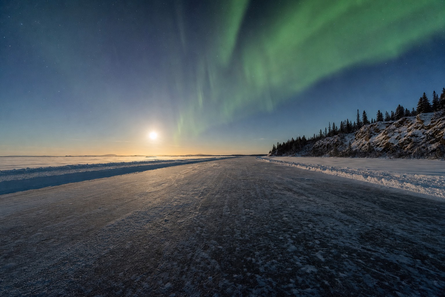
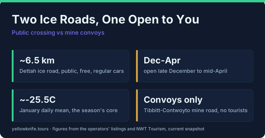
Yes, tourists can drive an ice road here. The public Dettah ice road runs about 6.5 kilometres across frozen Yellowknife Bay, typically late December to mid-April, and regular cars use it daily. Obey the posted low speed limits and pull fully off the lane for photos. The Tibbitt to Contwoyto road from Ice Road Truckers is a private mine-supply route, closed to tourists.
The first time I take guests onto the Dettah ice road, somebody in the back seat always goes quiet, then asks the same question: are we really driving on the lake? We are. Under the tires sits frozen Great Slave Lake, the deepest lake in North America, and the road across it is as official as any highway, plowed, signed, and maintained by the territory. This guide is the structured explainer: what ice roads are, which one you can drive, the rules, and the television myth. The behind-the-wheel story of the crossing itself is in driving the Dettah ice road.
What is an ice road, and why does the NWT build them?
An ice road is a maintained winter route built on frozen lakes and rivers, plowed, monitored, and opened only when the ice is thick enough for vehicles. The Northwest Territories builds them because much of the territory has no all-season road, so winter ice becomes real infrastructure connecting communities and supplying remote sites.
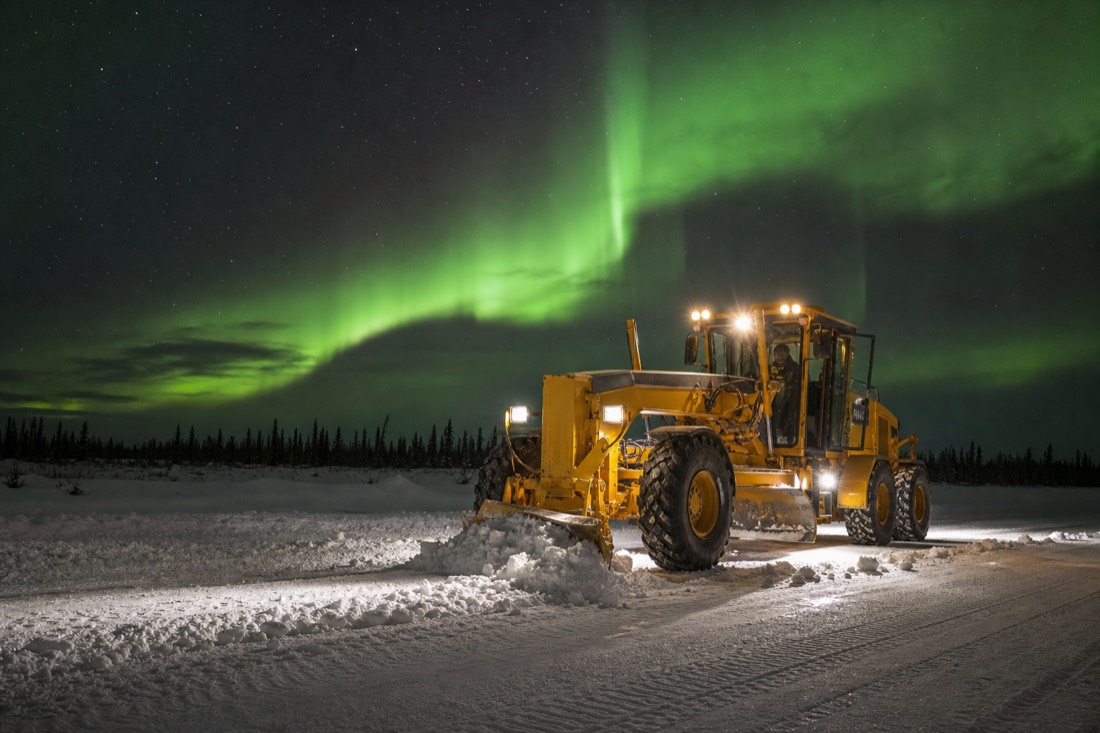
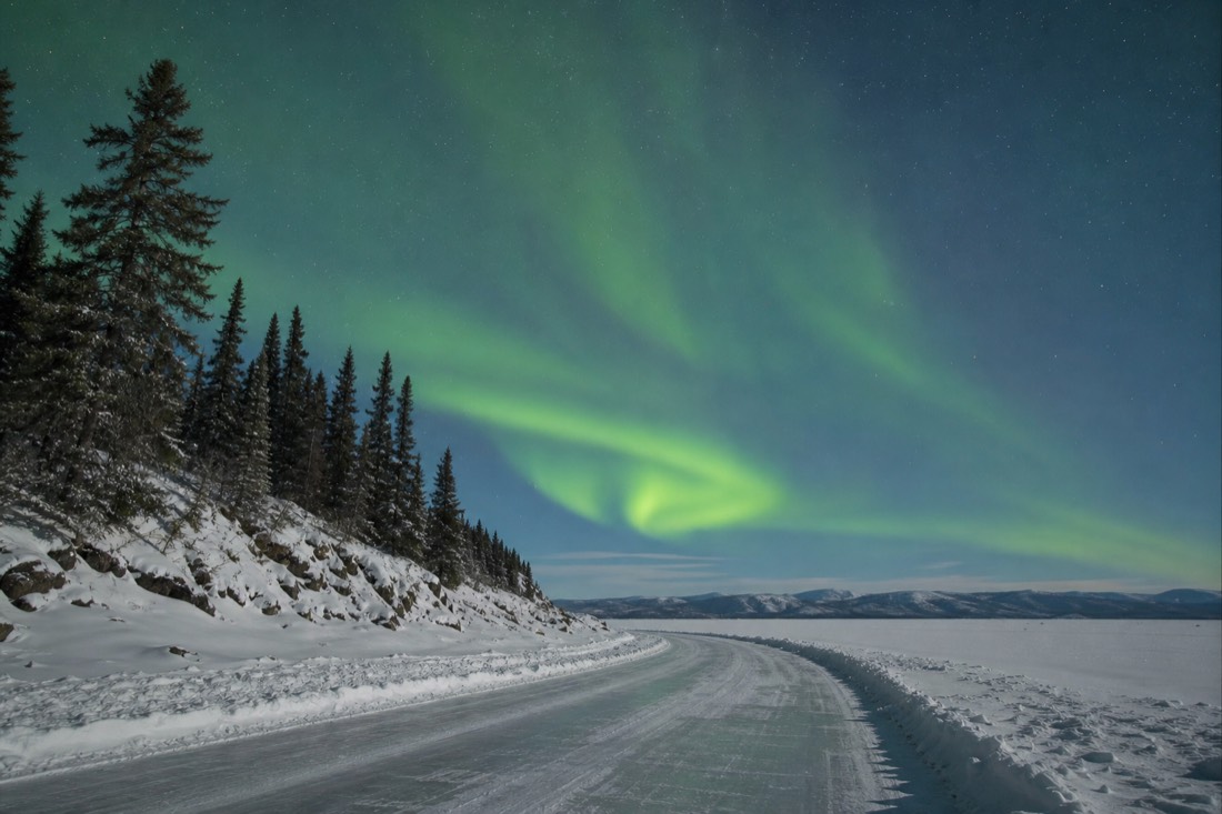
Down south, winter closes roads. Up here it opens them. When the lakes freeze deep, crews plow routes across them, test the thickness, post limits, and suddenly places that spent the summer reachable only by boat or plane have a highway. The territory publishes its rules and current conditions through its winter driving pages, and treats these routes exactly as seriously as asphalt.
For a visitor the concept lands somewhere between engineering and magic. The same bay that carries houseboats and floatplanes in July carries pickup trucks in February. Nowhere makes that whiplash easier to see than Yellowknife, where the town's own ice road begins at the edge of Old Town.
Can tourists drive the Dettah ice road?
Yes. The Dettah ice road is public, free, and driven by regular cars, no special vehicle needed. It runs about 6.5 kilometres across frozen Yellowknife Bay to the Yellowknives Dene community of Dettah, typically from late December to mid-April. It is the easiest genuine ice-road experience a visitor can have anywhere.
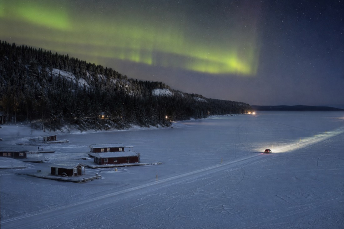
This is the fact that surprises guests most: no permit, no monster truck, no guide required. When the road is open, an ordinary rental sedan crosses the bay like everyone else's car, past ice thick enough that the territory rates it for daily traffic. The city's visitor site keeps the practical details on its ice roads page, and the destination matters as much as the crossing: Dettah is a Yellowknives Dene community, a real place people live, not an attraction, so drive it with the same respect you would bring to any small town.
The crossing takes minutes. The memory does not. Standing beside your own car in the middle of a frozen bay, engine ticking in the cold, is the cheapest bucket-list item in the Northwest Territories, and one of the strongest arguments in the whole winter things-to-do list.
What are the rules for driving on the ice?
Three that matter: obey the posted speed limits, which are deliberately low because speed sends pressure waves through the ice; pull fully out of the driving lane before stopping for photos; and stay alert the whole crossing. The limits protect the road itself, not just the drivers on it.
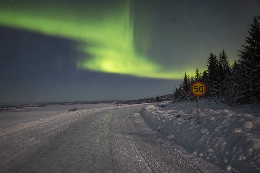
The physics deserve one sentence, because they explain everything: a vehicle moving on floating ice pushes a wave through the water beneath it, and too much speed can stress and crack the sheet. That is why ice-road limits feel absurdly slow and why locals respect them without being reminded. The same logic covers stopping, everyone wants the photo, and the rule is simple: fully out of the lane, never blocking traffic on the ice.
| Do | Don't |
|---|---|
| Obey the posted low speed limits | Speed, ever; the wave under you is real |
| Pull completely out of the lane for photos | Stop in the driving lane for any reason |
| Stay alert and watch for oncoming traffic | Treat the crossing as a racetrack or a rink |
| Drive only the official, open road | Venture onto unmaintained ice anywhere else |
| Check conditions before you go | Assume December or April ice is ready |
That last row extends beyond the road. Official ice roads are tested; the rest of the lake is not, and the city's ice safety guidance is blunt about early- and late-season ice. The road being open is the signal the crossing is safe. No open road, no crossing, on foot or on wheels.
When is the Dettah ice road open?
Typically from late December to mid-April, the window when Yellowknife Bay's ice reaches and holds highway thickness. The deep-winter months are the reliable core. The shoulders move with the weather each year, so check current status locally rather than trusting a calendar.
| Month | Ice road status |
|---|---|
| November | Bay freezing; no road, no walking on early ice |
| Late December | Typical opening as ice reaches thickness |
| January-February | Reliable core season; January's daily mean sits near minus 25.5C |
| March | Open, milder, and the SnowKing castle shares the frozen bay |
| Mid-April | Typical closing as the melt begins |
| May-December's freeze | Open water; the bay goes back to boats |
March deserves its highlight: the road is still solid, daytime cold eases, and the SnowKing Winter Festival builds its snow castle on the same frozen bay, which makes it the single best month to combine the two, as the March guide lays out. If your trip brushes the shoulder seasons, hold the plan loosely. The road opens when the ice says so, not when the brochure does.
Is the Ice Road Truckers road open to tourists?
No, and this is the myth that needs retiring. The Tibbitt to Contwoyto Winter Road made famous by Ice Road Truckers is a private winter supply road serving diamond mines, built and run for industrial convoys. Tourists cannot drive it. The public ice road experience in Yellowknife is the Dettah road.
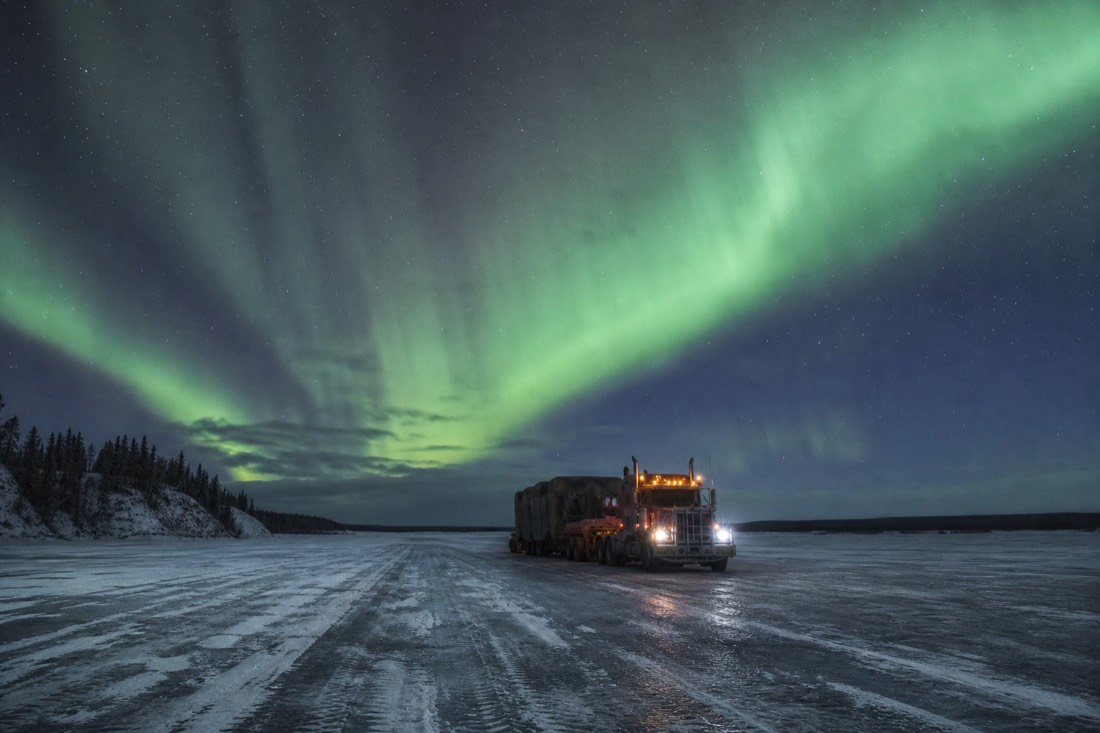
Every winter someone lands here planning to drive "the road from the show." I understand the pull, the History Channel series filmed in and around Yellowknife across many seasons and put this town on a lot of screens. But the route the trucks run, Tibbitt to Contwoyto, is a private industrial road pushing supplies to mines through country with no towns, no services, and no public access. Its convoys are a working operation, not a drive-through attraction.
| Dettah ice road | Tibbitt to Contwoyto Winter Road | |
|---|---|---|
| Who can drive it | Anyone, regular cars | Authorized industrial traffic only |
| Purpose | Public link to the community of Dettah | Private mine resupply |
| Length | ~6.5 km across Yellowknife Bay | A long-haul industrial route far beyond town |
| Season | Late December to mid-April, typically | Winter operating window set by the operators |
| Cost | Free | Not open to the public at any price |
The good news: the Dettah road gives you the authentic core of the experience, real ice, real highway rules, real crossing, without a convoy permit. The full screen story, including which famous "Yellowknife" productions were actually filmed elsewhere, is in Yellowknife on screen.
Do you need your own car for the ice road?
A car is the flexible way, and winter rentals from the airport agencies come winterized with plug-in block heaters. But plenty of visitors experience the frozen bay without one: the road is walkable from Old Town when open, taxis exist, and guided tours cover the winter town's other icons all season.
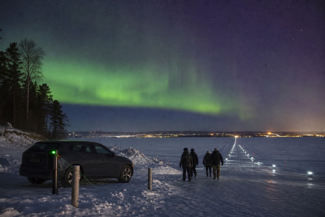
Hertz, Budget, and National operate at the airport, and their winter fleets are winterized; plugging the block heater in overnight is normal life here, not an emergency measure. Whether a rental earns its cost is really a trip-shape question, since every tour in town includes hotel pickup and downtown is walkable, and I argue both sides properly in do you need a car in Yellowknife.
For the carless, the town still delivers its winter self. Compare the city tours, then check live availability and prices on Viator for the guided circuit of Old Town, the Bush Pilots Monument, the Legislative Assembly, and the wildlife gallery, rated 5.0 across 27 reviews and running year-round; note it is non-refundable, so book it for a certain day. The guides' commentary on the bay, the houseboats frozen into it, and the road across it adds the context a windshield alone cannot.
Somewhere on the crossing, usually around the halfway point, guests stop talking and just look: a plowed white line across a frozen bay, a Dene community ahead, a gold-rush town behind. No television drama required. The real thing is quieter, shorter, and open to anyone with a car and the sense to drive it slowly.