Great Slave Lake: Depth, Size, Seasons and What You Can Do On It
The lake Yellowknife sits on is the deepest in North America and the tenth largest on the planet by area. Here are the real figures, the shape of its year, and the parts of it a visitor can actually reach.
 Written with Thomas Beaulieu, Yellowknife tour guide & northern lights specialist
Short answer
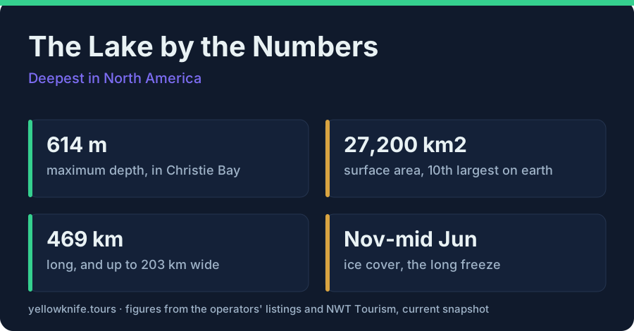
Great Slave Lake reaches 614 metres (2,014 feet) at its deepest, in Christie Bay, making it the deepest lake in North America. It covers 27,200 square kilometres, tenth largest in the world by area, and drains north into the Mackenzie River. Ice covers it roughly November to mid-June.
Guests ask me how big the lake is while we are standing on it, which is the wrong moment for a number, because from the shore ice the far side is just a white line that never arrives. So I give them the one that lands: under our boots, somewhere out east, the bottom drops 614 metres. This guide is the lake itself, the measurements, the arms, the ice calendar, and the parts of it you can genuinely set foot on or float across in a week-long visit.
How deep is Great Slave Lake?
Great Slave Lake reaches 614 metres (2,014 feet) at its deepest point, in Christie Bay, which makes it the deepest lake in North America. That maximum is not typical of the whole basin. Across the main western portion the mean depth is only about 32.2 metres, so the water off Yellowknife is shallow by comparison.
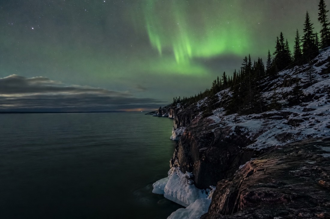
The gap between those two numbers explains a lot about the lake. Yellowknife sits on the shallow western side, where the basin is broad and modest in depth, which is why the bay freezes early and hard enough to carry trucks. The extreme depth lives in the east, in Christie Bay, where the Canadian Shield drops away and the water column is nearly twenty times the western mean. Both figures come from the same set of measurements catalogued on the Great Slave Lake statistics record.
For scale in familiar terms: 614 metres is deeper than almost any structure you have stood next to is tall. It is also the reason the lake never behaves like a pond. Water that deep holds cold through the whole summer, which is a fact swimmers meet directly, and I go into that properly in can you swim in Great Slave Lake.
How big is Great Slave Lake in total?
It covers 27,200 square kilometres (10,500 square miles), the tenth-largest lake in the world by surface area and the second largest in the Northwest Territories after Great Bear Lake. It stretches 469 kilometres long, ranges from 20 to 203 kilometres wide, and carries 3,057 kilometres of shoreline.
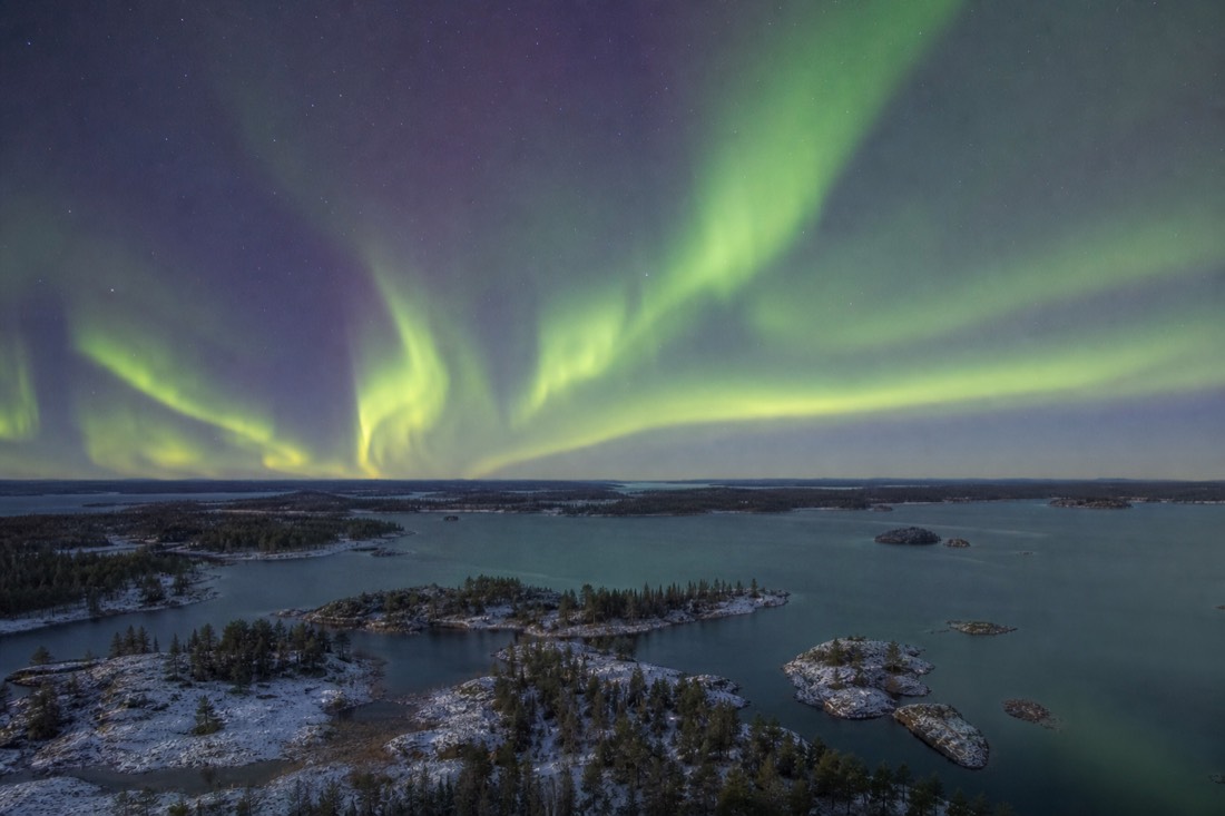
Volume is where the sources stop agreeing. Estimates run between roughly 1,070 and 2,088 cubic kilometres, a spread wide enough that anyone quoting a single confident figure is quoting one study and ignoring the rest. I give it as a range and leave it there. The surface sits 156 metres above sea level, and everything that leaves the lake leaves north, through the Mackenzie River.
| Great Slave Lake | Figure |
|---|---|
| Maximum depth | 614 m (2,014 ft), in Christie Bay |
| Rank by depth | Deepest lake in North America |
| Mean depth | About 32.2 m across the main western portion |
| Surface area | 27,200 km2 (10,500 sq mi) |
| Rank by area | Tenth largest in the world; second in the NWT after Great Bear Lake |
| Length | 469 km |
| Width | 20 km to 203 km |
| Shoreline | 3,057 km |
| Surface elevation | 156 m |
| Volume | Estimates vary, roughly 1,070 to 2,088 km3 |
| Outflow | The Mackenzie River |
The width range is the row worth staring at. At its narrowest the lake is a channel you could cross in a small boat on a calm morning. At its widest, 203 kilometres, you would lose sight of land entirely, in water that behaves like an inland sea when the wind gets up.
What are the arms of Great Slave Lake?
The lake has two long arms and two named deep bays. The East Arm is the island-filled eastern reach, the North Arm runs northwest of Yellowknife, and McLeod Bay and Christie Bay sit within the eastern system. Christie Bay holds the 614-metre maximum depth. All of the lake's outflow goes north down the Mackenzie River.
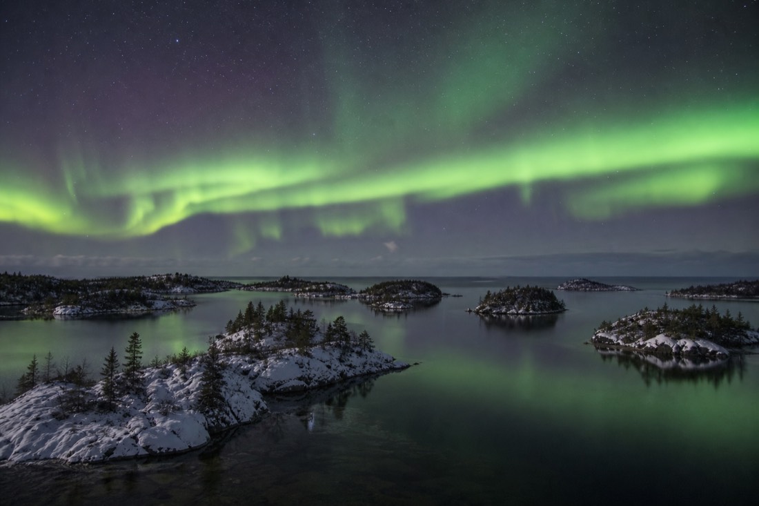
The East Arm is the postcard half of the lake and the half most visitors never see. It breaks into cliffs, channels and hundreds of islands, and since 2019 much of it has been protected as Thaidene Nene National Park Reserve. Access is genuinely remote, generally through the community of Lutselk'e, so treat it as an expedition rather than a day trip; Parks Canada's Thaidene Nene pages set out what reaching it involves.
The western end is the working end. Yellowknife Bay carries the float-plane base, roughly 50 houseboats moored or frozen in depending on the month, and the winter road across the ice. That bay is what most people mean when they say they have been on Great Slave Lake, and its own small community of floating homes has a story of its own in the houseboats of Yellowknife Bay.
When does Great Slave Lake freeze and break up?
Ice cover on the lake typically runs from November to mid-June, one of the longest freezes on any large lake in North America. The bay ice near Yellowknife firms up first: the Dettah ice road usually opens in late December and closes around mid-April, while the deep eastern water holds ice for weeks longer.
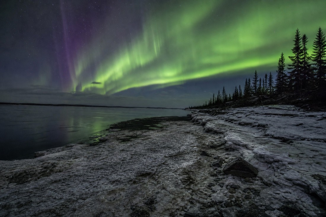
Two windows matter, and confusing them is the classic visitor mistake. The lake-wide ice season is long. The safe, driveable, walkable ice season near town is shorter, and its edges move every year with the weather.
| Month band | State of the ice |
|---|---|
| November | Freeze-up begins; new ice, unsafe, no access |
| December | Bay ice thickens; Dettah ice road typically opens late in the month |
| January to February | Full, reliable ice; the coldest stretch, January's daily mean near -25.5C |
| March | Still solid, milder days, the SnowKing castle stands on the frozen bay |
| Early to mid-April | Ice road closes around mid-April; shoulder ice is unsafe |
| Late April to May | Break-up near town; neither ice nor open water is usable |
| June | Ice can linger on the lake to mid-June, mainly in the deep east |
| July to October | Open water across the lake |
Nobody should read the "typically" out of those rows. The road opens when the ice measures up, not when a calendar says so, and the same is true of break-up. The full set of rules, limits and the private mine road tourists cannot use is in the Yellowknife ice roads guide, and the drive itself is described from behind the wheel in driving the Dettah ice road.
What can you actually do on Great Slave Lake?
More than the size suggests, but the season decides everything. In deep winter the lake is a surface: you drive it, walk it, and fish through it. In summer it is water: boats, float planes, charters and a genuinely swimmable, if bracing, shoreline. Break-up and freeze-up close it to both.
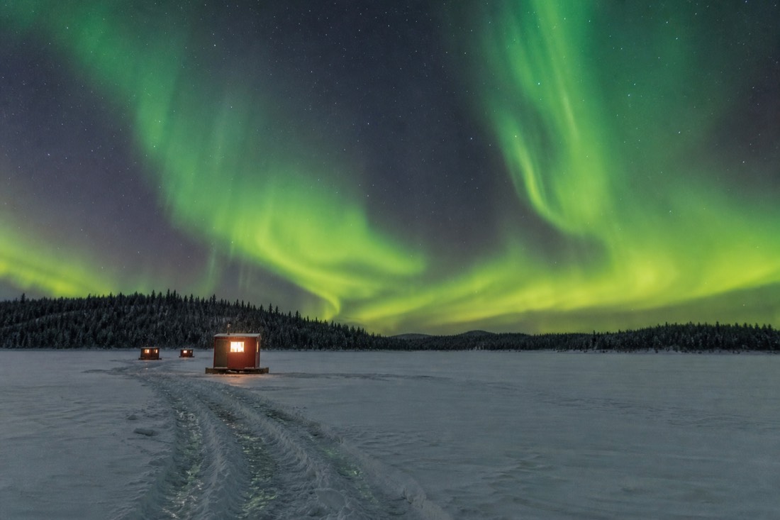
| Season | What the lake offers a visitor |
|---|---|
| Late December to mid-April | Drive the ~6.5 km Dettah ice road; guided ice fishing from heated huts; aurora photography out on the frozen bay |
| March specifically | All of the above plus the SnowKing snow castle built on the bay ice |
| Late April to May | Break-up. Stay off the ice entirely; shore views and Old Town only |
| June to August | Boat trips and float planes from Old Town; open-water fishing charters; surface water around 15-18C |
| July to August | Swimming, with the sandy beach at Long Lake in Fred Henne Territorial Park |
| September to October | Open water under returning darkness; aurora reflected on the lake before freeze-up |
The summer half of that table surprises people who booked a winter trip and assumed the lake was purely a frozen thing. It is a working waterway for four or five months, and what that looks like in practice is laid out in Yellowknife in summer.
What fish live in Great Slave Lake?
Eight species make up the lake's commonly listed fish community: lake whitefish, lake trout, inconnu, northern pike, walleye, cisco, burbot and longnose sucker. Lake trout and northern pike are the ones visitors most often meet, in summer from a charter boat and in winter through a hole in the ice.
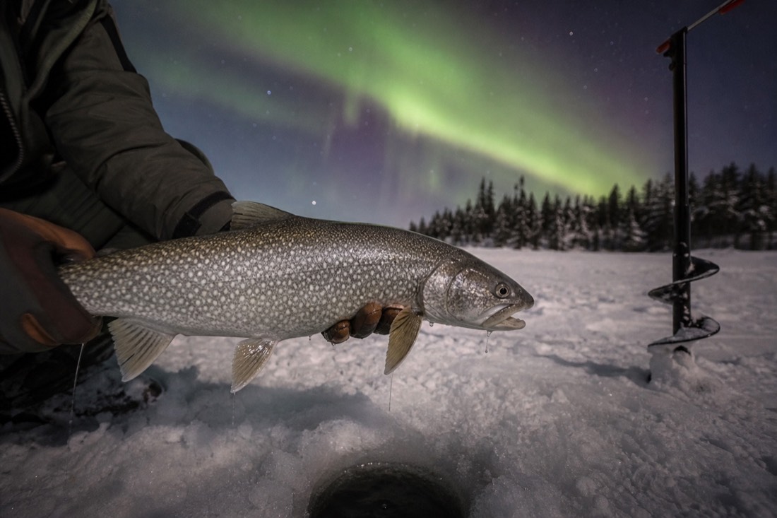
| Species | Where a visitor meets it |
|---|---|
| Lake trout | The headline sport fish, summer charters and winter lines alike |
| Northern pike | Shallow bays and weed edges, popular with summer anglers |
| Lake whitefish | A staple of the commercial and traditional fishery, and of local menus |
| Inconnu | A large whitefish relative of the Mackenzie system |
| Walleye | Present in the lake's fish community |
| Cisco | Small schooling fish, part of the food web that feeds the trout |
| Burbot | Bottom dweller, a winter catch |
| Longnose sucker | Common bottom feeder, rarely targeted |
A licence is mandatory on any fishing trip here and is not included in tour prices. The regulations, seasons, the East Arm lodge scene and what the summer charters cost are handled in full in the Great Slave Lake fishing guide, so I will not repeat them here.
What is the easiest way to get onto the lake as a visitor?
In winter, a guided ice-fishing trip, because it solves the two problems a visitor cannot solve alone: knowing which ice is safe and staying warm on it. Heated huts, drilled holes, gear and a lunch cooked on the lake turn a hostile surface into a comfortable afternoon.
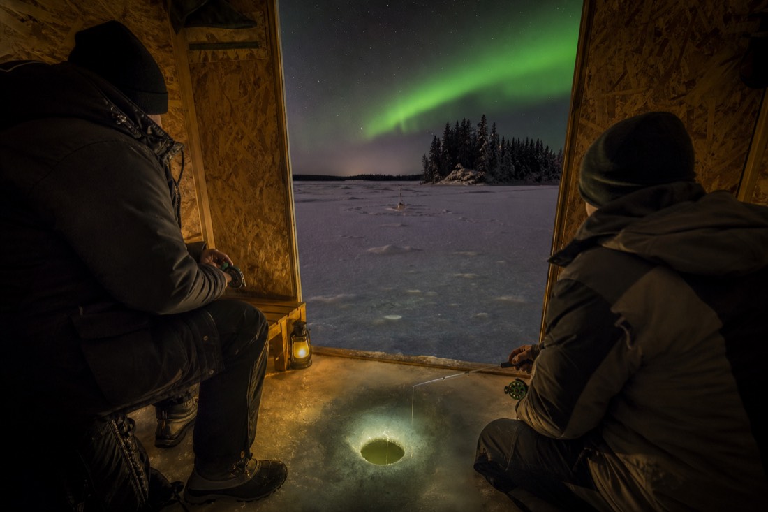
Walking out on your own is a bad plan unless you know the bay. Ice thickness varies with current, pressure ridges and snow cover, and the city's guidance on early and late-season ice exists for good reason. A guided trip removes all of that guesswork, and it puts you several kilometres out, where the shoreline shrinks and the scale of 27,200 square kilometres finally registers.
Compare the ice fishing tours, then check live availability and prices on Viator for the 3.5-hour trip with heated huts, a net pull, and the catch cooked for lunch out on the ice, rated 4.5 across 72 reviews with free cancellation up to 24 hours; the NWT sport fishing licence, about CA$15 per the listing's note, is extra. What the hours out there actually feel like, including the waiting, is in ice fishing on Great Slave Lake.
The figure that stays with people is not the biggest one. It is the contrast: a lake whose average western depth would barely hide an office block, holding a hole in the east deep enough to swallow a small mountain. Stand on the bay ice in February and you are on the shallow, friendly edge of something very large and very old, and the far shore still never arrives.