Where Is Yellowknife? The Geography, Explained by Someone Who Lives There
Capital of the Northwest Territories, north shore of the deepest lake on the continent, a 17-hour drive past the end of most road maps. Here is the pin on the map, properly explained.
 Written with Thomas Beaulieu, Yellowknife tour guide & northern lights specialist
Short answer
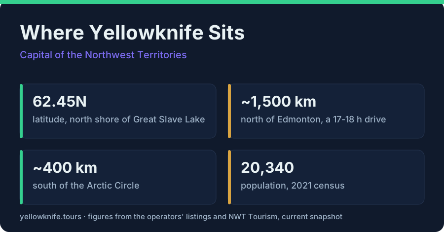
Yellowknife is the capital of Canada's Northwest Territories, sitting at latitude 62.45 north on the north shore of Great Slave Lake. It is about 1,500 km north of Edmonton, a 17 to 18 hour drive, which is why nearly everyone flies. It lies roughly 400 km south of the Arctic Circle, subarctic rather than arctic.
The most common message I get before a tour is a screenshot of a map app, zoomed way out, with the words "wait, it's WHERE?" Yellowknife is the capital of Canada's Northwest Territories, at latitude 62.45 north on the north shore of Great Slave Lake. It sits about 1,500 km north of Edmonton, the nearest big city, and about 400 km south of the Arctic Circle. Remote, yes. Hard to reach, less than you think.
Where is Yellowknife, exactly?
Yellowknife is the capital of the Northwest Territories in Canada's subarctic north, at latitude 62.45 north on the north shore of Great Slave Lake. Population 20,340 at the 2021 census. Edmonton, the nearest major city, is about 1,500 km south, and the Arctic Circle is roughly 400 km further north.
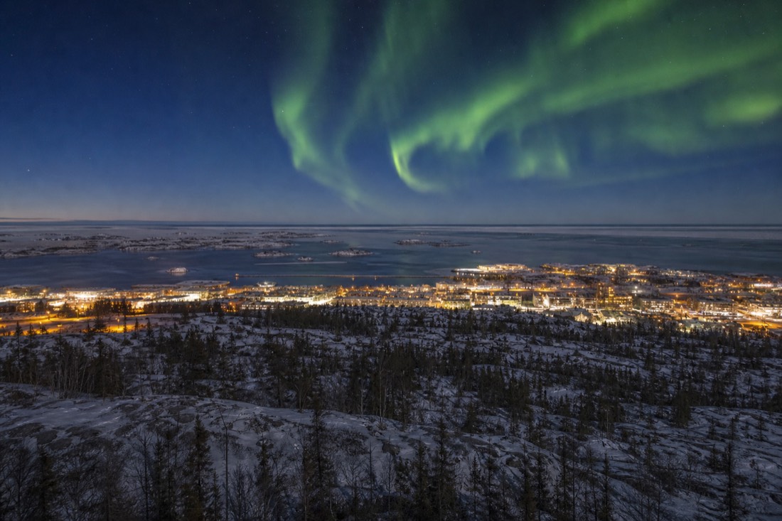
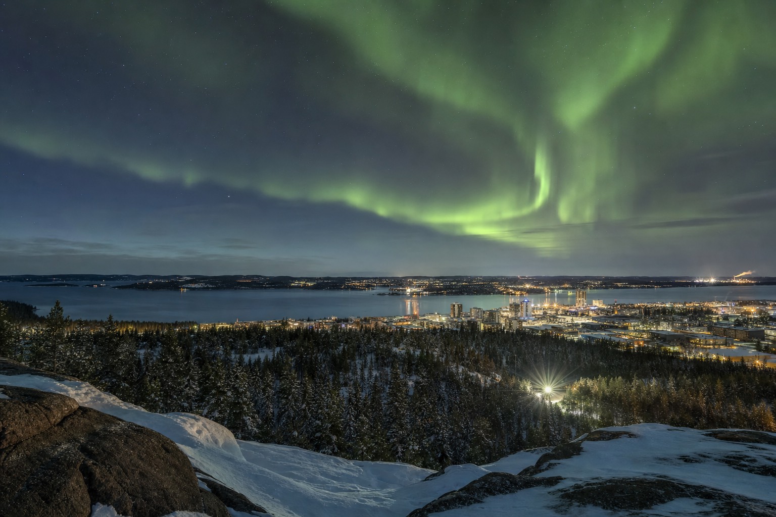
The fastest way to place it: find Alberta, go up past where the highways thin out, cross Great Slave Lake, and stop on the north shore. The Wikipedia entry for Yellowknife has the coordinates and census numbers if you like your geography sourced. What the coordinates cannot convey is the setting, a small capital of 20,340 people perched on pink granite between spruce forest and a lake so large it behaves like an inland sea.
| Fast fact | Value |
|---|---|
| Country and territory | Canada, capital of the Northwest Territories |
| Latitude | ~62.45 degrees north |
| Setting | North shore of Great Slave Lake |
| Population | 20,340 (2021 census) |
| Distance from Edmonton | ~1,500 km, a 17 to 18 hour drive |
| Distance from the Arctic Circle | ~400 km south of it |
| Climate zone | Subarctic, not arctic |
How far north is Yellowknife really?
Far, but not arctic. At 62.45 degrees north, Yellowknife sits about 400 km south of the Arctic Circle, firmly in the subarctic. That means real winters and long nights, but the sun rises every day of the year. For visitors, the payoff is that this latitude puts the city directly under the auroral oval.
People hear "Northwest Territories" and picture polar bears and polar night. Neither lives here. The bears are a full ecosystem away, a question I answer properly in are there polar bears in Yellowknife, and the polar-night myth gets the same treatment in does Yellowknife get 24-hour darkness. Even at the December solstice the city sees about five hours of sun.
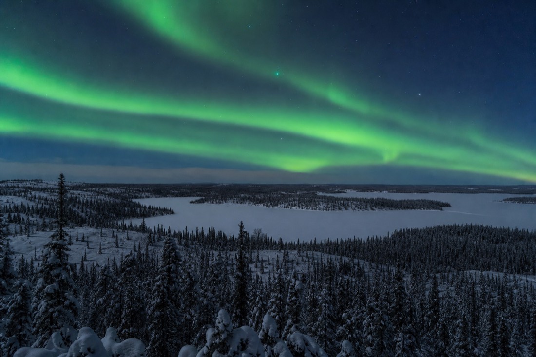
What the latitude does deliver is the aurora. The oval where displays concentrate passes directly overhead, which is why the lights are visible here up to 240 nights a year and why a three-night stay in season carries a 98% chance of a sighting. Being 400 km south of the Circle is not a consolation prize. It is the reason the aurora industry lives in this town and not further north.
How do you get to Yellowknife?
Fly, almost always. Yellowknife's airport, YZF, has direct flights from Edmonton, Calgary, and Vancouver, with seasonal routes including Ottawa and Toronto, on Air Canada, WestJet, Canadian North, and Air North. Most international visitors connect once through a western Canadian hub and land the same day.
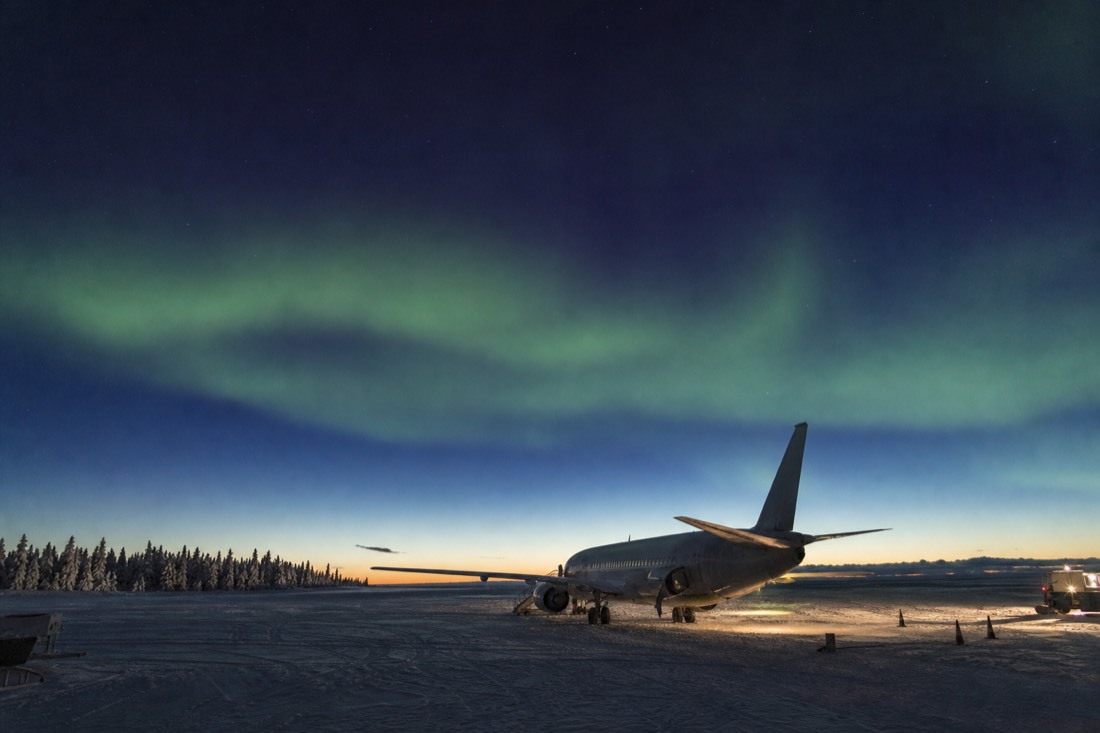
For a city this remote, access is refreshingly simple. NWT Tourism keeps the current route list on its air travel page, and the pattern holds year round: one connection from most of the world, through Edmonton, Calgary, or Vancouver. I walk through the booking logistics, and what to do on landing, in getting to Yellowknife.
| Option | What it involves | Verdict |
|---|---|---|
| Fly from Edmonton, Calgary, or Vancouver | Direct scheduled service to YZF | The default, and what nearly everyone does |
| Fly with one connection | Any major world airport via a western hub | Standard for international visitors |
| Drive from Edmonton | ~1,500 km, 17 to 18 hours on northern highways | An expedition, not a transfer |
Can you drive to Yellowknife?
Yes, there is an all-season highway, but respect the distance: about 1,500 km from Edmonton, a 17 to 18 hour drive before rest stops. That is why nearly everyone flies. The road trip rewards travelers who want the journey itself; everyone else should spend those two days under the aurora instead.
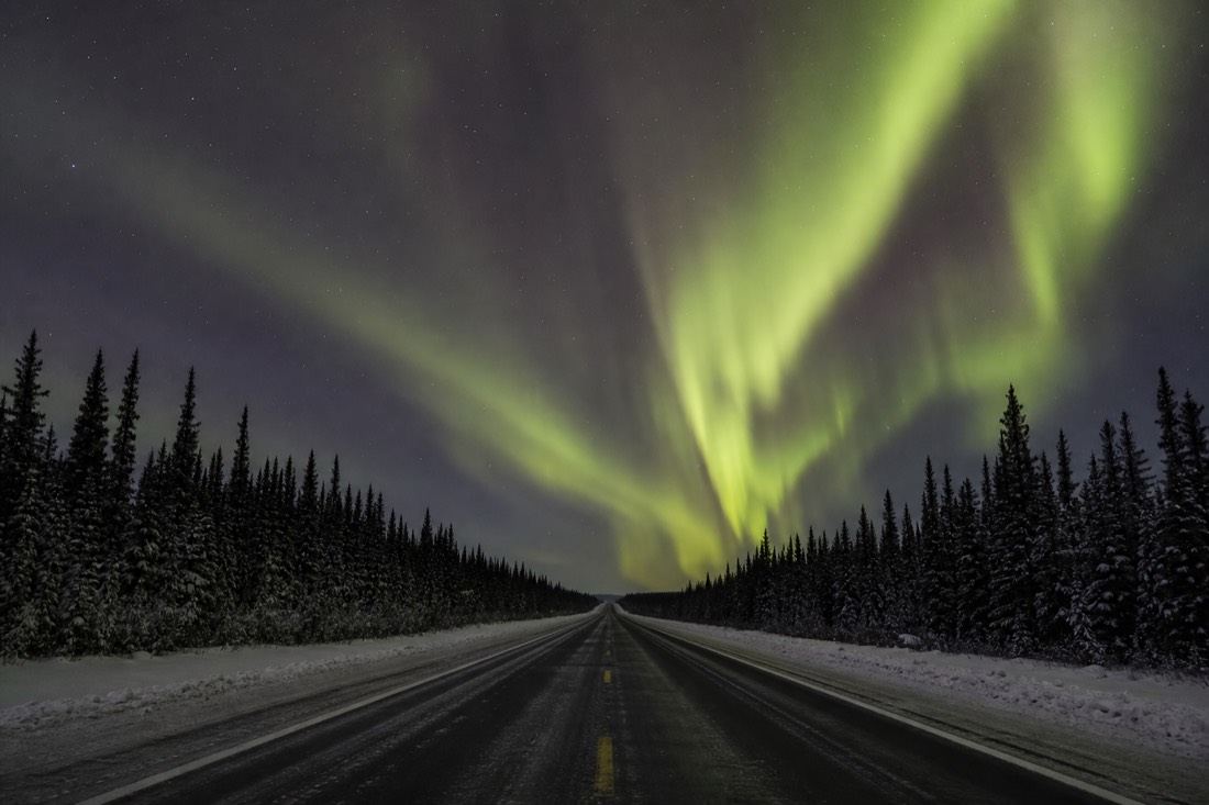
I admire the guests who drive up. I also notice they arrive tired. Seventeen hours of highway is a serious commitment in summer and a more serious one in winter, when the road runs through deep cold and long darkness. If your holiday clock is tight, the math is unkind: two full days up, two full days back, against a three-night stay that already carries a 98% aurora chance in season.
The local roads are a different story and worth your time. The Ingraham Trail runs about 70 km east of town, a scenic dead-end past Prosperous, Madeline, Prelude, and Tibbitt lakes, with the Cameron Falls trailhead about 46 km out. In winter the famous short drive is the Dettah ice road, 6 to 6.5 km straight across the frozen bay. The full local road trip is written up in Cameron Falls and the Ingraham Trail.
| From | To Yellowknife | Notes |
|---|---|---|
| Edmonton | ~1,500 km, 17 to 18 h drive | The only practical driving route from a major city |
| Arctic Circle | ~400 km north of the city | Yellowknife is subarctic, south of the line |
| Cameron Falls trailhead | ~46 km, about 45 min | Off the Ingraham Trail, 1.5 to 2 km hike one way |
| End of the Ingraham Trail | ~70 km | Scenic dead-end road past a chain of lakes |
| Dettah | ~6 to 6.5 km by winter ice road | Public road across the frozen bay, regular cars |
What is Yellowknife's setting actually like?
A rocky lakeshore town split between a modern downtown and a 1930s gold-rush Old Town, facing a lake that is the deepest in North America at 614 m. Around 50 houseboats float in the bay, floatplanes take off from Old Town, and beyond the city limits the boreal forest runs unbroken for hundreds of kilometres.
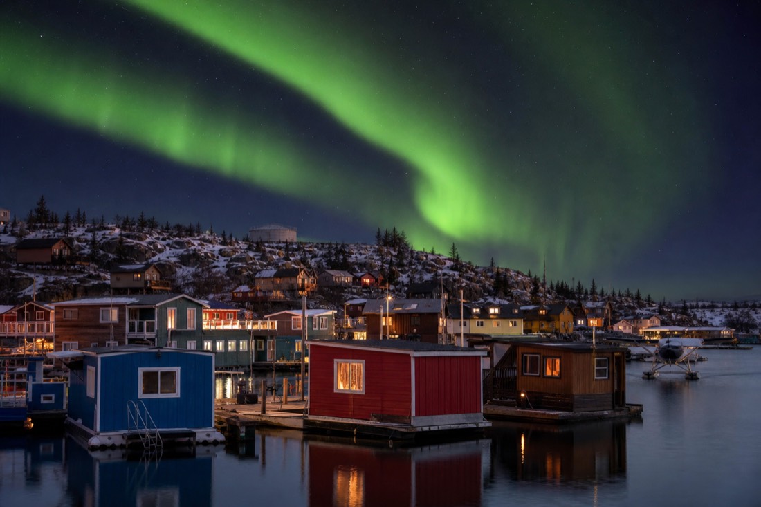
Great Slave Lake defines everything here. It is 614 m deep at its maximum, the deepest lake on the continent, home to lake trout, whitefish, northern pike, and burbot, and it flips personalities twice a year: open water and floatplanes in summer, ice roads and heated fishing huts in winter. The story of the roughly 50 off-grid homes floating in the bay is told in houseboats of Yellowknife Bay.
The town itself splits into two characters. Downtown holds the hotels, the Legislative Assembly, and the museums. Old Town, ten minutes away on the shore, keeps the gold-rush cabins, Ragged Ass Road, and the Bush Pilots Monument lookout. Where you sleep between them matters for aurora pickups, which is exactly what where to stay in Yellowknife sorts out.
Why does this location matter for your trip?
Because the geography is the product. The latitude puts you under the auroral oval, the flat lake country gives you huge open skies, and the dry subarctic climate keeps winter nights disproportionately clear. Yellowknife's location is the reason aurora appears up to 240 nights a year here.
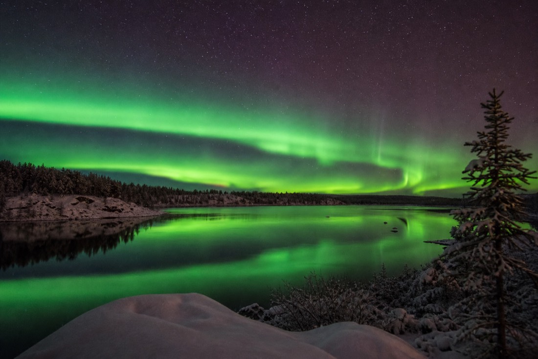
Every advantage this town sells traces back to the map. Under the oval, displays fire on quiet solar nights that produce nothing further south. The terrain is flat to every horizon, so nothing blocks a low arc. Relatively low precipitation means clearer winter skies than most northern destinations, and five minutes of driving clears the small city's light dome entirely.
The location also rewards staying out in it, not just visiting it. Cabins and camps a short drive from town sit in full darkness all night, and the two-night cabin trip run by Arctic Tours Canada, rated 4.6, adds airport and hotel transfers, a cabin or glass tipi, and soup served on the ice. See how it compares on the northern lights tours page, then check live availability and prices on GetYourGuide for your dates.
My short version for the map-screenshot crowd: far enough north that the sky performs, close enough to the airline network that you can be here tomorrow. Check what the town is actually famous for in what is Yellowknife famous for, then look at flights. The pin is less remote than it looks.